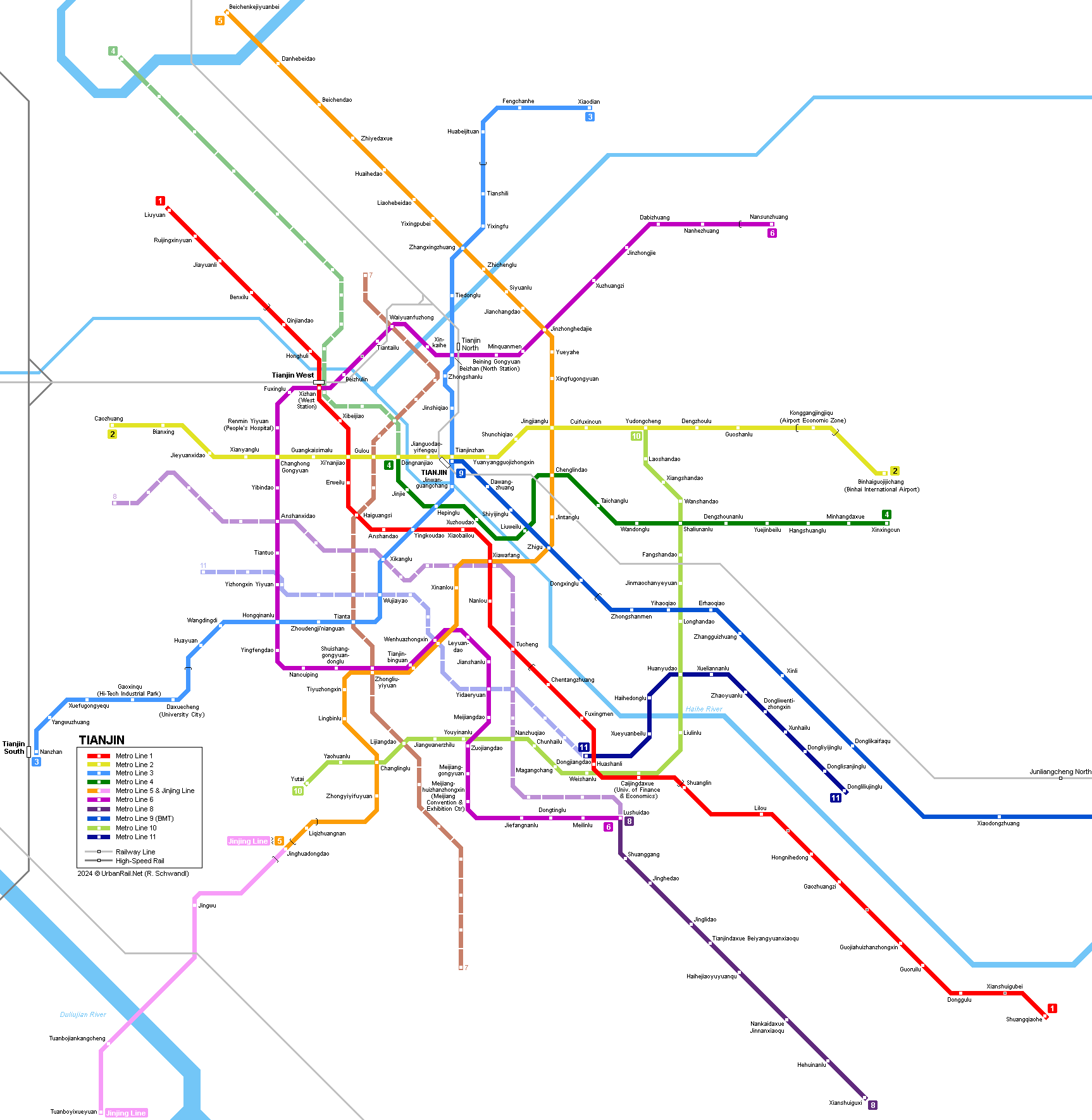
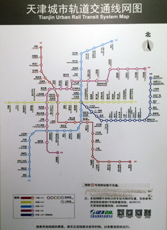
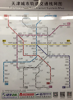
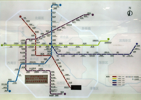
Click on map to expand map!
| TIANJIN |
|
Tianjin (Tientsin, Tenshin, 9.3 million inhabitants) has always been an important inland harbour, situated 40 km from the Yellow Sea (Bohai Gulf) and 130 km from Beijing (Peking).
|
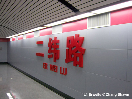
| Line 1 |
|
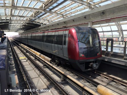
Tianjin was the second city in China to build an underground railway. Construction of the present line 1 started in 1970. It runs only 2-3 metres under the city's streets, partly using a driedout canal bed. The construction was interrupted by the 1976 earthquake and was resumed and finished between 1979 and 1984. The line started at Xin Hua Road (now Xiaobailou), and finished at the West Railway Station (Xizhan). The total length was 7.4 km. The Tianjin metro has 1435 mm gauge and it uses 825Vdc 3rd rail power supply. Most stations have side platforms. The original Tianjin metro line closed in 2001 for reconstruction and extension. The extended line eventually opened in summer 2006. 10
Aug 1980: Xinanjiao - Xinhua Road (5.2 km) 12
Jun 2006: Liuyuan - Shuanglin (26.2 km) |
|
|
| Line 2 |
|
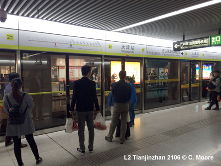
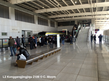
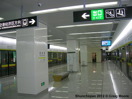
East-west line initially operated in two sections, due to a construction accident on the central section. After completion of the central section in 2013, the line was 23.5 km long with 19 stations. A 4 km extension to Binhai International Airport (Terminal 2) was added in 2014. 01 July
2012: Caozhuang - Dongnanjiao and Tianjinzhan - Konggangjingjiqu
|
|
|
| Line 3 |
|
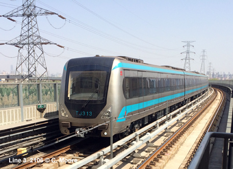
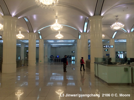
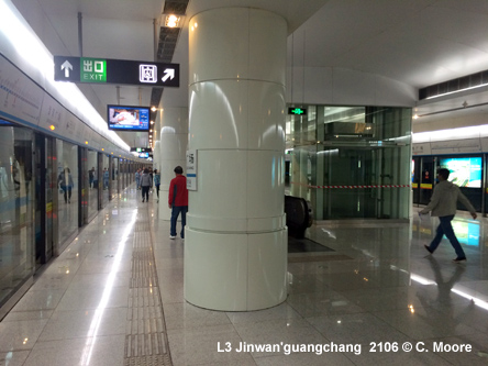
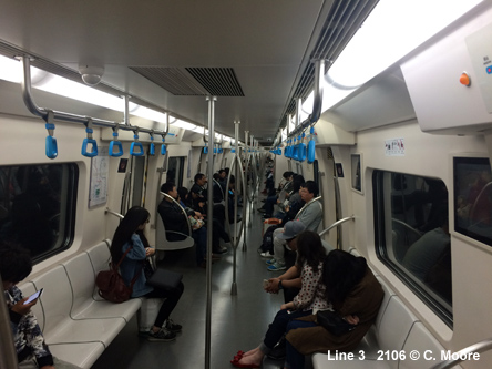
North-south line, 34 km with 26 stations 01 Oct
2012: Xiaodian - Gaoxinqu |
|
|
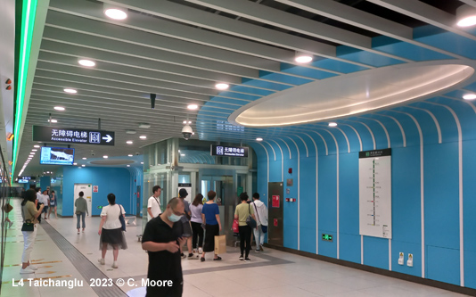
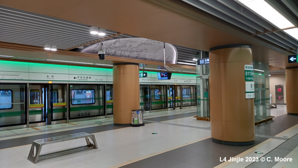
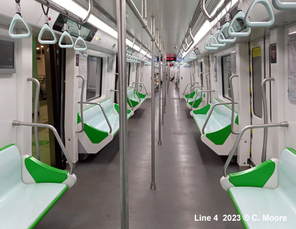
| Line 4 |
|
28 Dec 2021: Dongnanjiao – Xinxingcun (19.4 km)
|
|
|
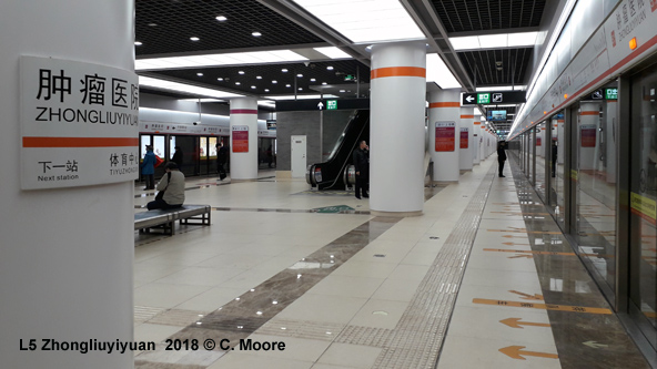
| Line 5 & Jinjing Line |
|
22 Oct
2018: Danhebeidao - Zhongyiyifuyuan (30 km) |
|
|
| Line 6 |
|
44 km with 39 stations 06 Aug
2016: Changhong Gongyuan - Nancuiping (9.5 km) |
|
|
| Line 8 |
|
13.4 km with 9 stations 28 Dec 2021: Lushuidao – Xianshuiguxi (13.4 km) |
| Binhai Line (Line 9) |
|
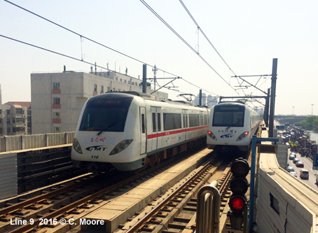
The TEDA (Tianjin Economic Developing Area) industrial zone has been Tianjin's fastest developing area. But commuting between downtown and TEDA has become a serious problem. Although there were already 3 express highways and 1 railway between them, a mass transit line was still required. With a sum of 5.92 billion Yuan (USD 0.71 billion) that was invested by the new company named Binhai Mass Transit Developing, the construction started in 2001. And it was finished in late October 2003. The original LRT Binhai line is 45.4 km long running from Zhongshanmen to Donghailu (Control Centre). Construction began in early 2004. 28
March 2004: Binhai Line Zhongshanmen - Donghailu (trial operation:
only 6 stations opened for public, plus two - Hujiayuan and Huizhanzhongxin
- for special occasions only) |
|
|
| Line 10 |
|
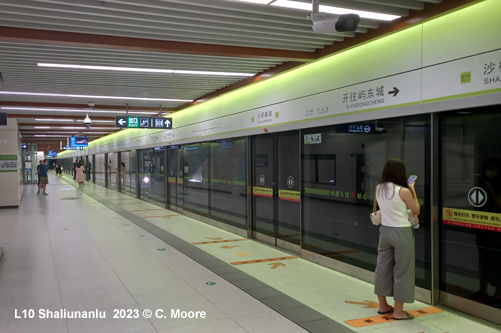
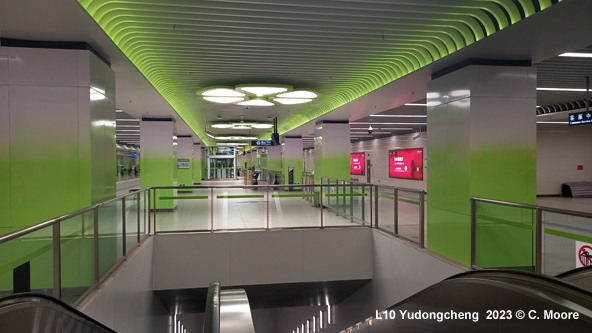
18 Nov 2022: Yutai – Yudongcheng (21 km)
|
|
|
| Line 11 |
|
28
Dec 2023: Dongjiangdao – Dongliliujinglu
(13.7 km)
|
|
|
| Links |
|
TRT (Tianjin Rail Transit - Official Site) Tianjin Binhai Mass Transit Development Co. (LRT - Official Site) Tianjin Metro at Wikipedia TEDA Translohr Tram at Wikipedia Tianjin Subway Map at Johomaps |
| Photos |
|
|
|
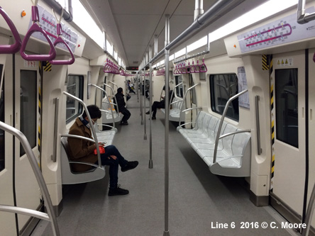
In Dec 2018, Craig Moore sends an updated report from Tianjin: Introduction The Tianjin Metro has two operating companies (Tianjin Metro (Lines 1/2/3/6) and BMT (Line 5/9) and in the past, there were distinct differences between the two companies. Now, branding and ticketing is unified and there is an overarching body (Tianjin Rail Transit-TRT) which is the primary identity for the Metro. To all intent and purpose, this is a single system. Lines
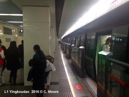
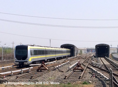
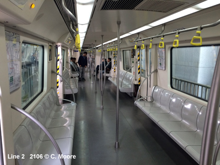
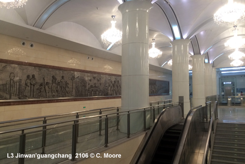
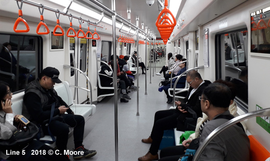
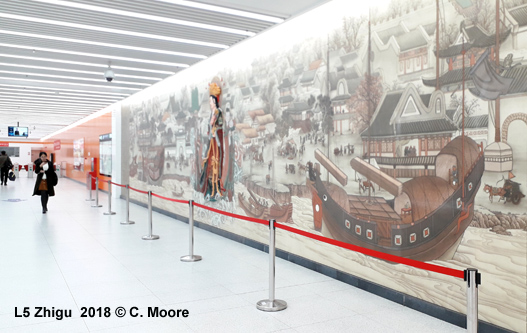
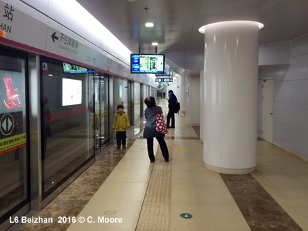
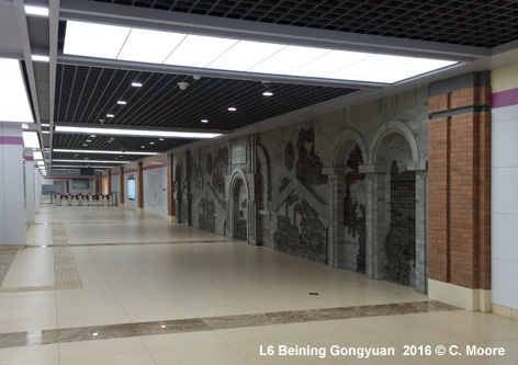
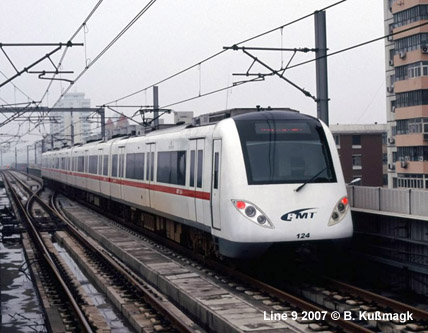
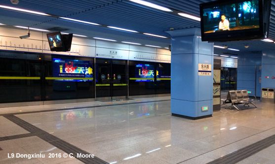
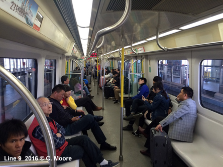
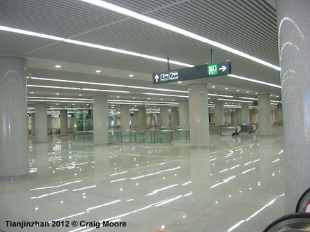
Line 2 also operates 7min headways and uses 6-car CNR stock. The line is third rail powered and runs east-west for 24.9km and is totally underground save a short 1.4km grade section at Konggangjingjiqu (side platforms) before heading on a 5min run south to the impressive airport (total journey time 47mins). The street entrances on this line (and Line 1) are quite basic, but the stations are smart and clean and very much of the Chinese template with full platform screens and information in Mandarin and English (electronic and audio). At Tianjinzhan (a huge station) the line provides cross-platform interchange with Line 9 but the interconnection to Line 3 involves a very long walk, such is the size of the station (see below). The opening of Line 3 started to improve the style of the system. This line runs from the north to southwest for 33.4km again utilising third-rail power supply. There is a mix of alignments with a lengthy 23.5km underground section in the north and centre, and grade/elevated running in the far north and the southwest around Gaoxinqu. The underground station interiors are stylish as are the elevated stations, with their huge canopied roofs. There is a mix of side and island platforms. Smart CSR Qingdao stock is used in 6-car formations, although headways are 8mins and dwell times are longer on this line than others, making the entire journey 59mins. The latest addition to the system, Line 5, is fully underground and has to be one of the most beautiful lines in China (a country with many beautiful lines!). Its’ 29.9km houses beautiful bright white and bold orange stations with interesting ceiling designs, spacious entrance areas and wonderful calligraphic station names. Platforms have been built for seven cars but stylish six car CRRC stock operates (overhead power supply) at 8min headways. The line meanders across the city connecting with all other lines on the system and, together with line 6, it forms a loop around the main central area of Tianjin, massively improving transfer connectivity for the former radial lines. The southern part of the line includes a 2.3km shared section with Line 6, the two western stations having cross platform transfer on stacked platforms, whilst Wenhuazhongxin involves a lengthy transfer but is a stunningly beautiful station. Line 6 opened in two stages and, at 42.2km (0.9km above ground), it is the longest full metro line on the system. It runs from the north-east and skirts the outer areas of the western city before heading south west to Meilinlu. Using new 6-car CRRC stock the line runs at 8min frequencies and the stations have quite a distinctive style with the stair walls and shafts on the platform being of brick form, as well as offering different motifs across various stations. Line 9 is more distinctive than the other lines. This is partly a result of its differentiated ownership at its inception, with different stock and brand; and partly because it is mainly elevated and operates as a regional metro service. The originally titled Binhai Mass Transit Line (BMT) it is now fully branded as part of the TRT system. The line runs from the centre of Tianjin to the Binhai New District, via the TEDA economic zone. The 51.5km line is only underground within the Tianjin city area (5.8km underground). At the western terminus of Tianjinzhan the service pulls into a central single line with two island platforms on either side. Entry and exit is via either side and allows for cross platform interchange in either direction to Line 2 services. The underground section runs very slowly and the stations have a pale blue, slightly dated feel. After Zhongshanmen the line is also known as the Jinbin Light Rail and forms a rapid transit link between the Tianjin urban area and the Binhai port. On this elevated section the train speed increases but the stations (all elevated with side platforms) look slightly shabby and dated, with half platform screens, no next-train information and a very ugly strip map . These stations were built for 6-car lengths but the CNR sets on this service are powered by overhead lines and run as 4-car trains. They are also more unkempt than the metro trains and operate 8min headways, with a full journey taking 1h03. This line also provides interchange with the TEDA tram at Taida. Using the
system This is made more frustrating by the fact that the customer information centre has no hard copy information (nor do any other booths in any station-except some introductory brochures at Line 5 stations) and you are shown a photocopy of the map and pointed to an area of the station where there is access to the appropriate platform. At other stations there are schematic maps at the entrance level and at platform level but they are quite small and part of the information boards. On the older lines, these boards are not well located and so, unless you know the terminus station you may well be unsure of which direction you need to take. The newer lines have addressed this and have much improved the location of maps and wayfinding in general. Nonetheless, Tianjin is the only major system in China not to offer hard copy maps. At stations, the map is in landscape form and is a truer geographic representation but on trains it is in portrait and a different style. In both cases the font is so small that it is almost impossible to read. And so…..the new expanded system in Tianjin is impressive in so many ways and overall this is a nice metro, but a couple of minor points are a little irritating, especially in a country where wayfinding is generally flawless. |
| TEDA Modern Guided Rail Tram |
|
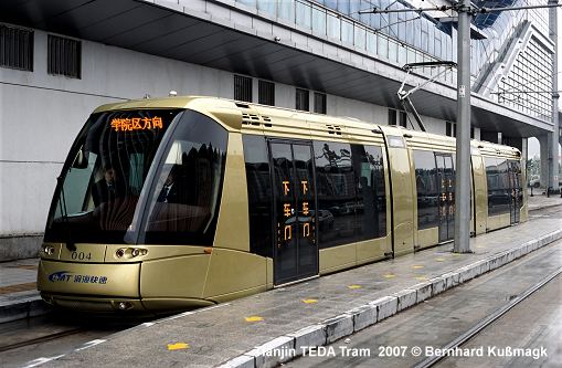
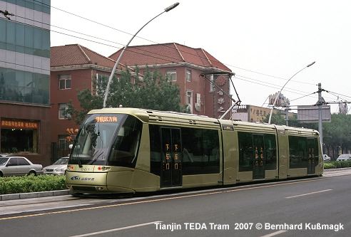
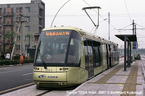
The TEDA (Tianjin Economic Developing Area) industrial zone used to be served by a Translohr rubber-tyred tram on an 8 km north-south line with 14 stops. 10 May
2007: TEDA (Line 9 station) - College District North |
|
|
2004 © Robert Schwandl (UrbanRail.Net)
